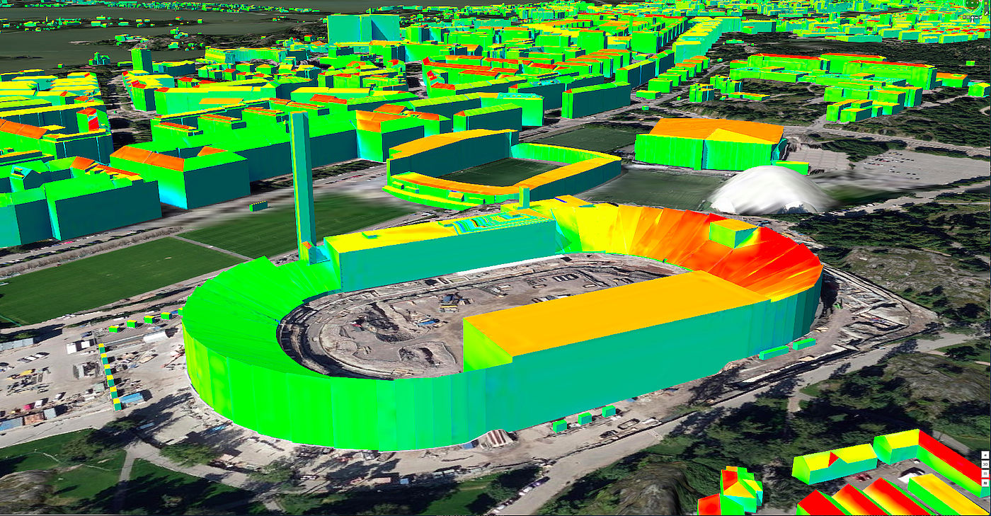
mySMARTLife project set a new ambitious goal of defining the urban platform as a supportive element of the Helsinki’s digital twin, Climate Atlas. The Climate Atlas was the first service to build on the 3D city model and expand it into a digital twin of the city with the simulations and scenarios.
For the IoT data acquisition, this approach meant more focus on the geospatial nature of the context. In practice, improved expression of the geospatial context of the data was accomplished by using the information model of the SensorThings API. This API is produced by the Open Geospatial Consortium, an organisation for the standardisation of geospatial information. By ensuring the compatibility of IoT data with the SensorThings API, cities can also achieve better interoperability with the CityGML city information models that form the basis for digital twins.
The Helsinki data platform is capable of processing and managing real-time data streams. The variety of actions in mySMARTLife has helped define the data models of the platform generically enough so that they can be applied to several domains. They are suitable for data from buildings, mobility and environmental monitoring, among others. The need for enterprise-grade performance and usability of an urban data platform became evident. For this reason, the implementation of the Helsinki Urban Platform is currently based on well-known and mature products such as Apache Camel, Apache Kafka, Postgre database and Snowflake data lake. The key components are mainly open source and ready to be scaled up to support the needs of the city. The components defined in mySMARTLife were used when the city created the first open data pipelines that were used to monitor the usage of outdoor exercise equipment and the water temperatures of swimming places with IoT sensors.
If you want to read more about the benefits, lessons learned, and facts and figures please see here.


